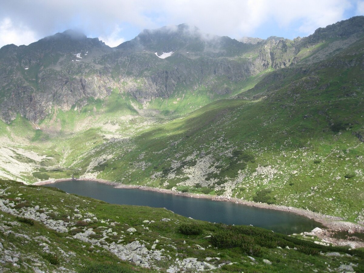
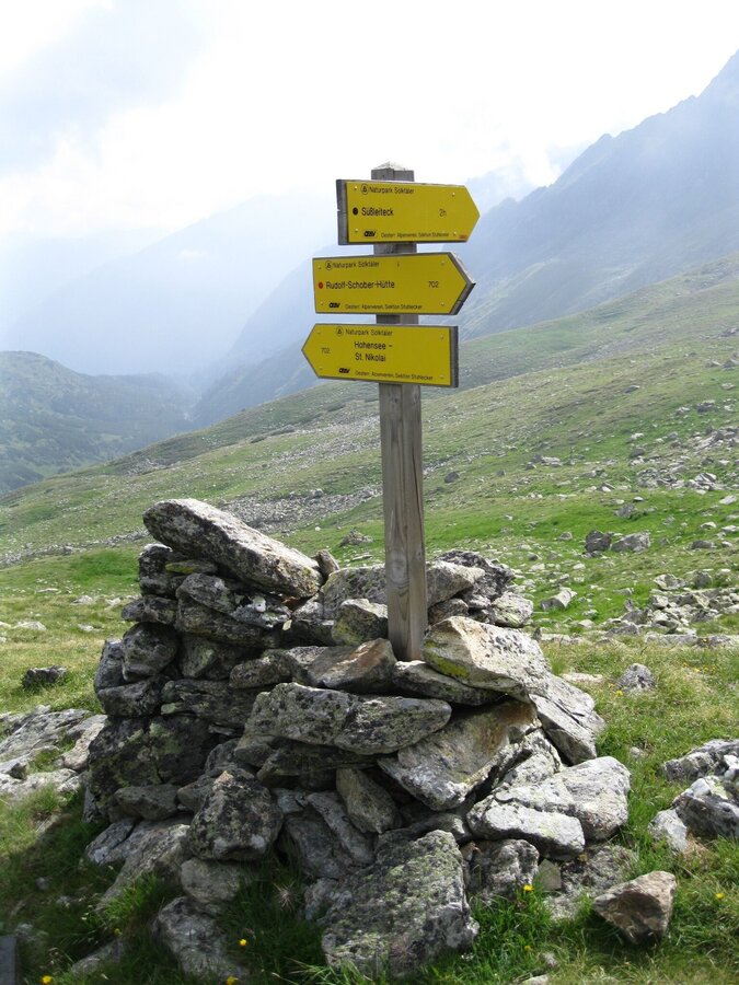
Hohensee - Schimpelscharte - Etrachsee
trudne Dog · Naturpark Sölktäler
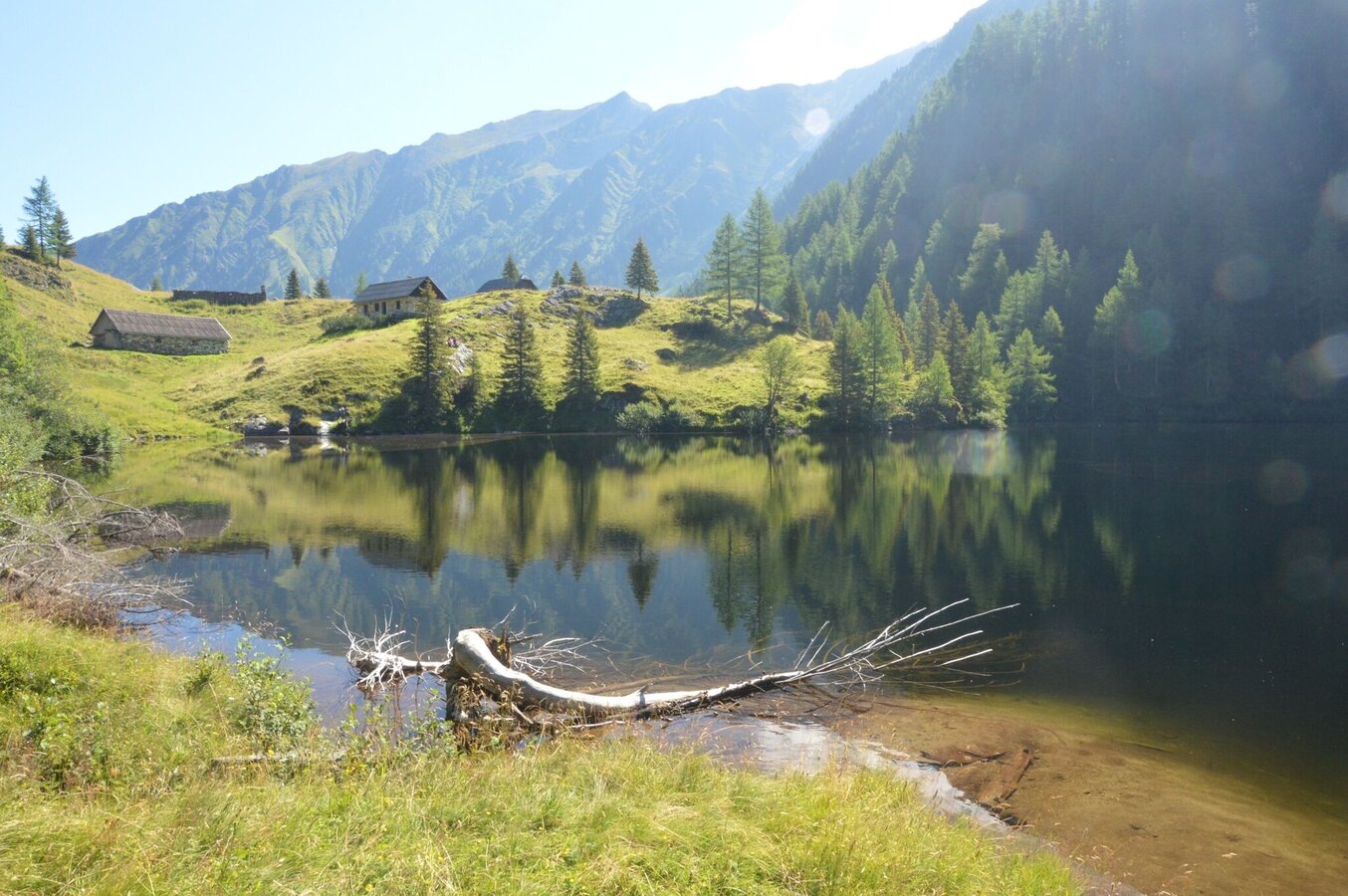
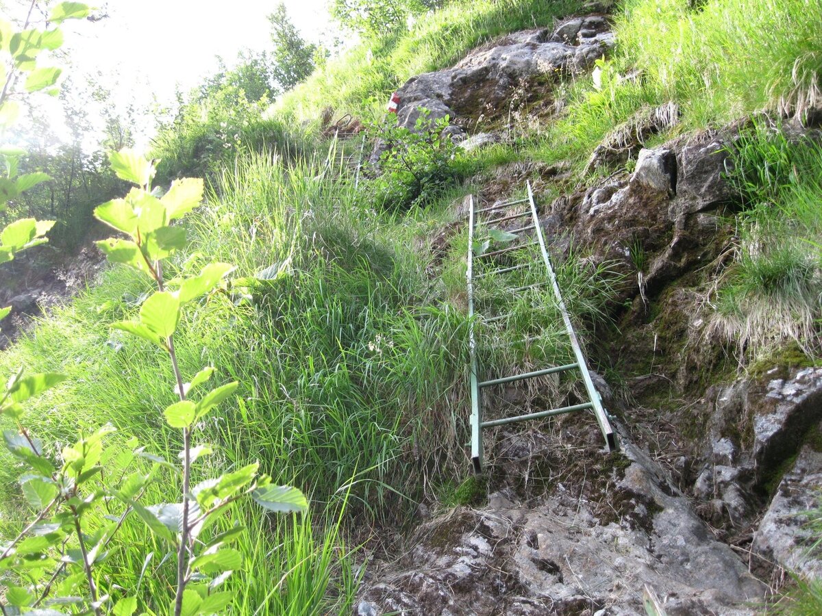
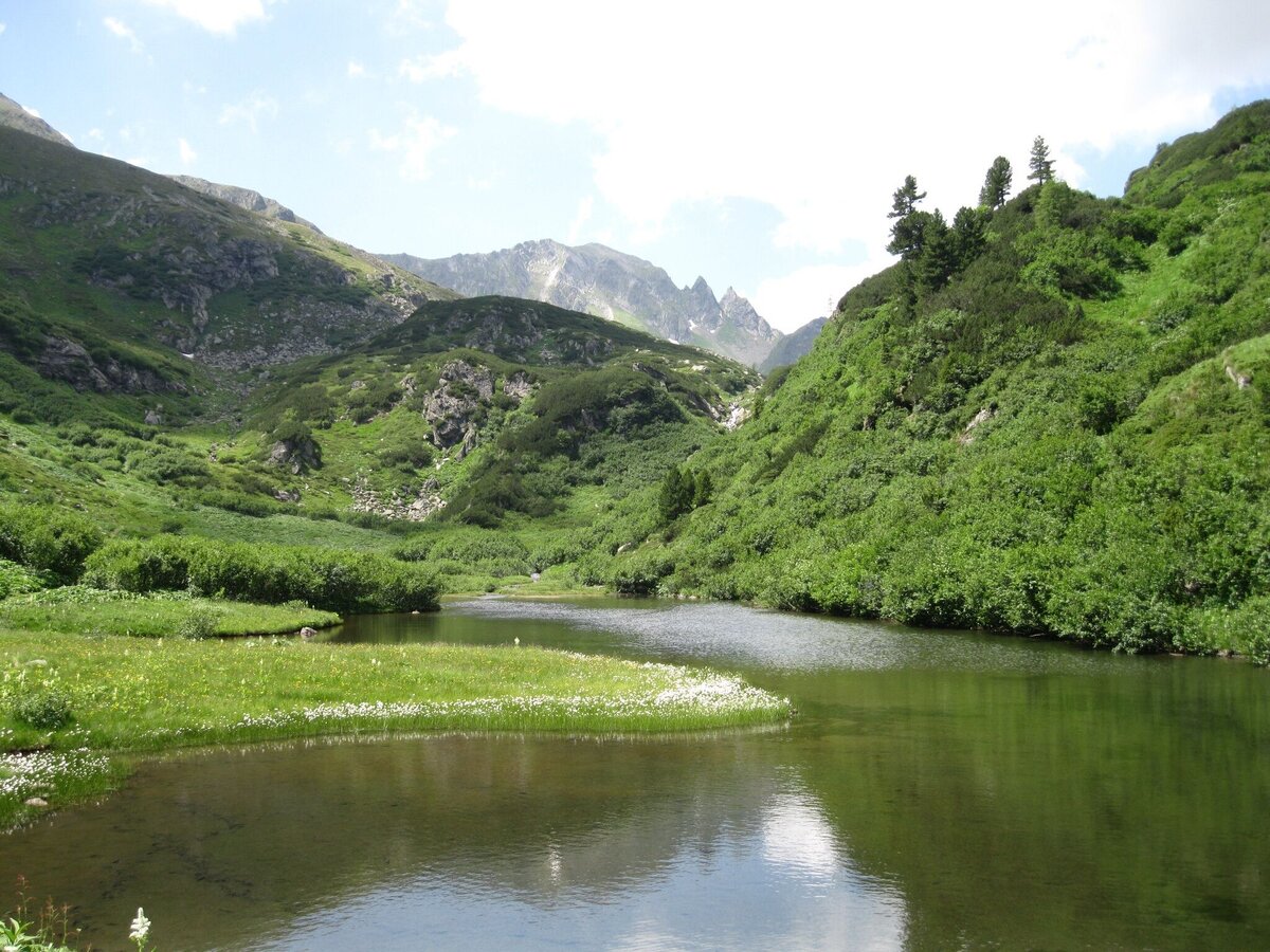
Our hike down is initially steep and we have to contend with a loose rock, hugging the cliffs as we make our way down to the broad cirque of the Grafenalm. Amid the following piles of rock, the first pine trees herald our return to the tree line, and soon we leave the bare terrain behind us. Mosses, rhododendron and blackberry bushes line our path, and we enter a beautiful pine forest. The Rudolf Schober Hütte is our first refreshment opportunity. The final descent to the Etrachsee isn’t far away, leading us through a beautiful area of alpine pastures to the romantic lake with its friendly mountain inn – their specialty: smoked trout. This is also the stop for the valley bus, which runs through the Krakau area via Ranten, and from there over Sölkpass to St. Nikolai.
Galeria obrazów


Arrival at Stein/Enns train station with ÖBB.
Cab Stefan Mayer: +43 676 54 09 858
Valley bus from July 5 to September 7, 2025 - this makes crossings in the Sölktäler Nature Park possible. You can also travel comfortably by train and the valley bus will take you to the starting point of your hike. Click here for the timetable.
Weather changes, rapid drop in temperature, thunderstorms, wind, fog and snow fields are objective dangers and require the right behavior on the way. Hut keepers are experienced mountain connoisseurs, they can give good tips on the weather and the course of the trail. Lack of equipment, overestimation of one's own abilities, carelessness, poor physical condition and a wrong assessment can lead to critical situations. During thunderstorms: avoid peaks, ridges and rope belays at all costs.
GPS data and orientation aids: Available GPS data - as well as hiking maps - are only an orientation aid, since they can never represent an exact image or the richness of detail of a path in reality. Especially in the case of danger spots, it must therefore always be decided in the end on the basis of the conditions on site whether and how the further course of the path looks like.
In case of emergency, please dial the following
emergency numbers:
No. 140 - for alpine emergencies - Austria-wide
No. 112 - Euro emergency call GSM emergency call service
Take rainproof and warm clothes and enough water, possibly also a snack, wear shoes with non-slip profile soles. A first aid kit should also be in your backpack.
SummitLynx- Your digital summit and hut book - available worldwide and always with you!
Mountain guides from the region: www.schladming-dachstein.at/mountainguides
For more information, please contact the Schladming Dachstein Tourist Office - Sölktäler Nature Park Information Center:
Phone: +43 3687 23310 501
mailto:info@schladming-dachstein.at
Stein an der Enns 107
8961 Sölk
The brochure
“Hiking- center” is available in all information offices in the
region.


