
Geological hiking trail Gumpeneck
střední Themed walks · Naturpark Sölktäler
The structure of the geological hiking trail with its 24 stations is divided into two parts:
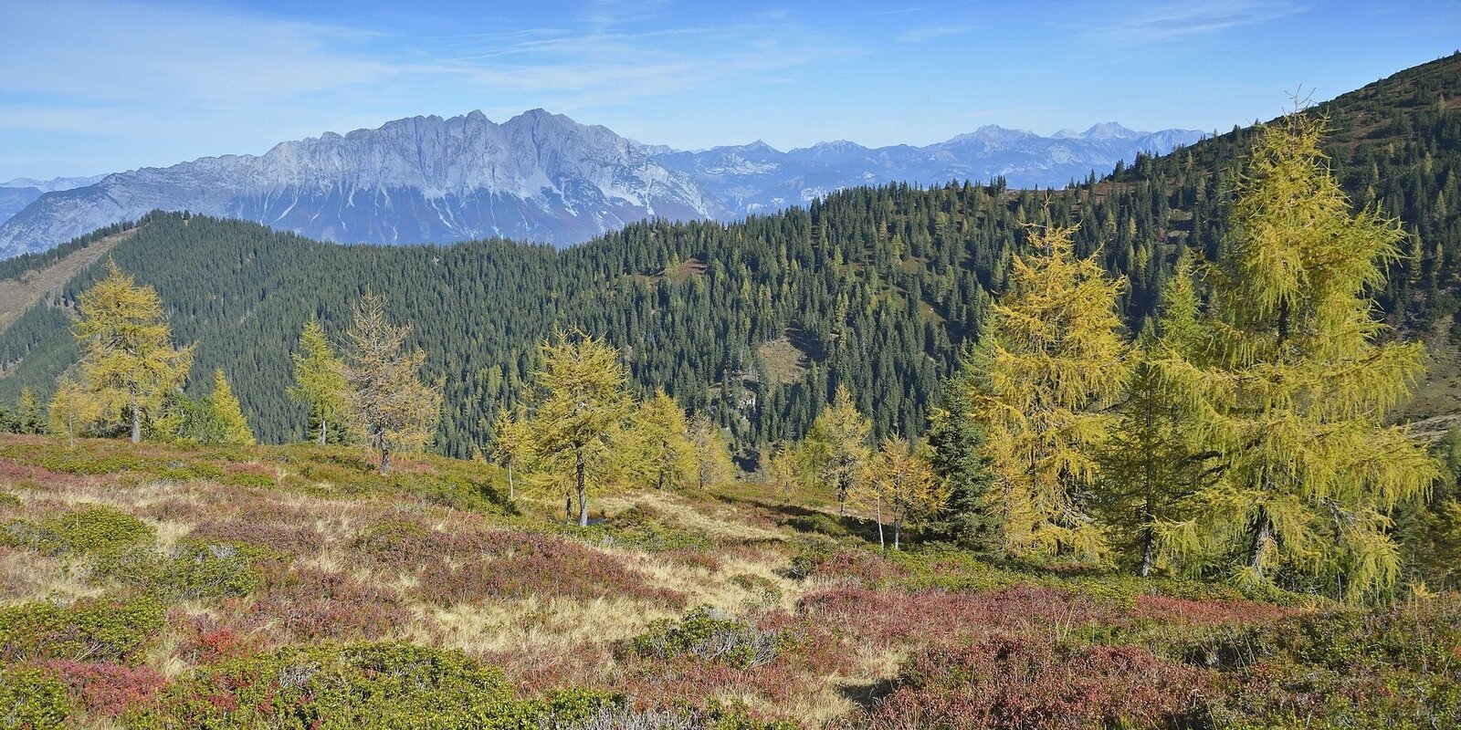
The first section (stations 1-14) leads from the Gumpenalm along the western edge of the Krrand and offers a magnificent view of the mountain landscape of the Sölktäler and Ennstal. It is the magnificent view that makes it possible to experience individual phases of the last 500 million years "live".
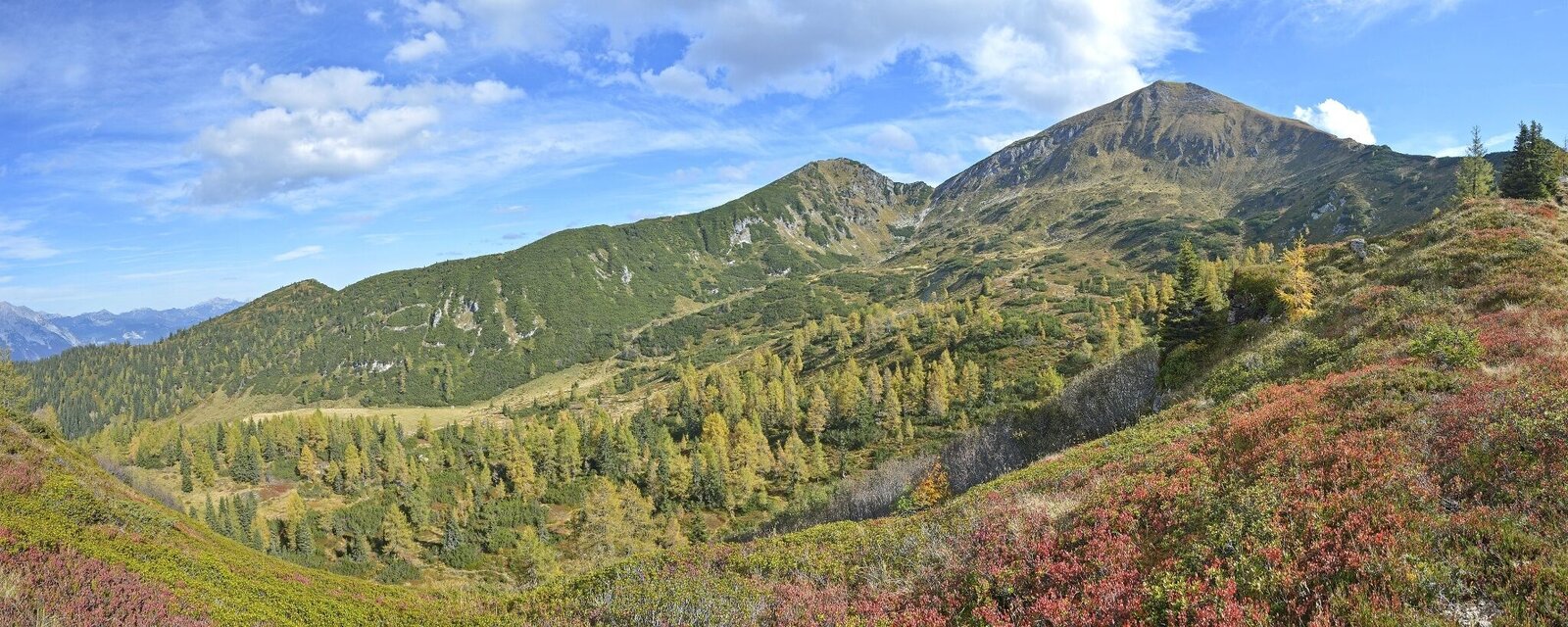
The second section (stations 15-24) runs through the interior of the Kars back to the Gumpenalm. The stations of this part of the route point to numerous characteristic terrain and geological features and show that geological processes are still taking place and are visible. - Geology lives"
Fotogalerie
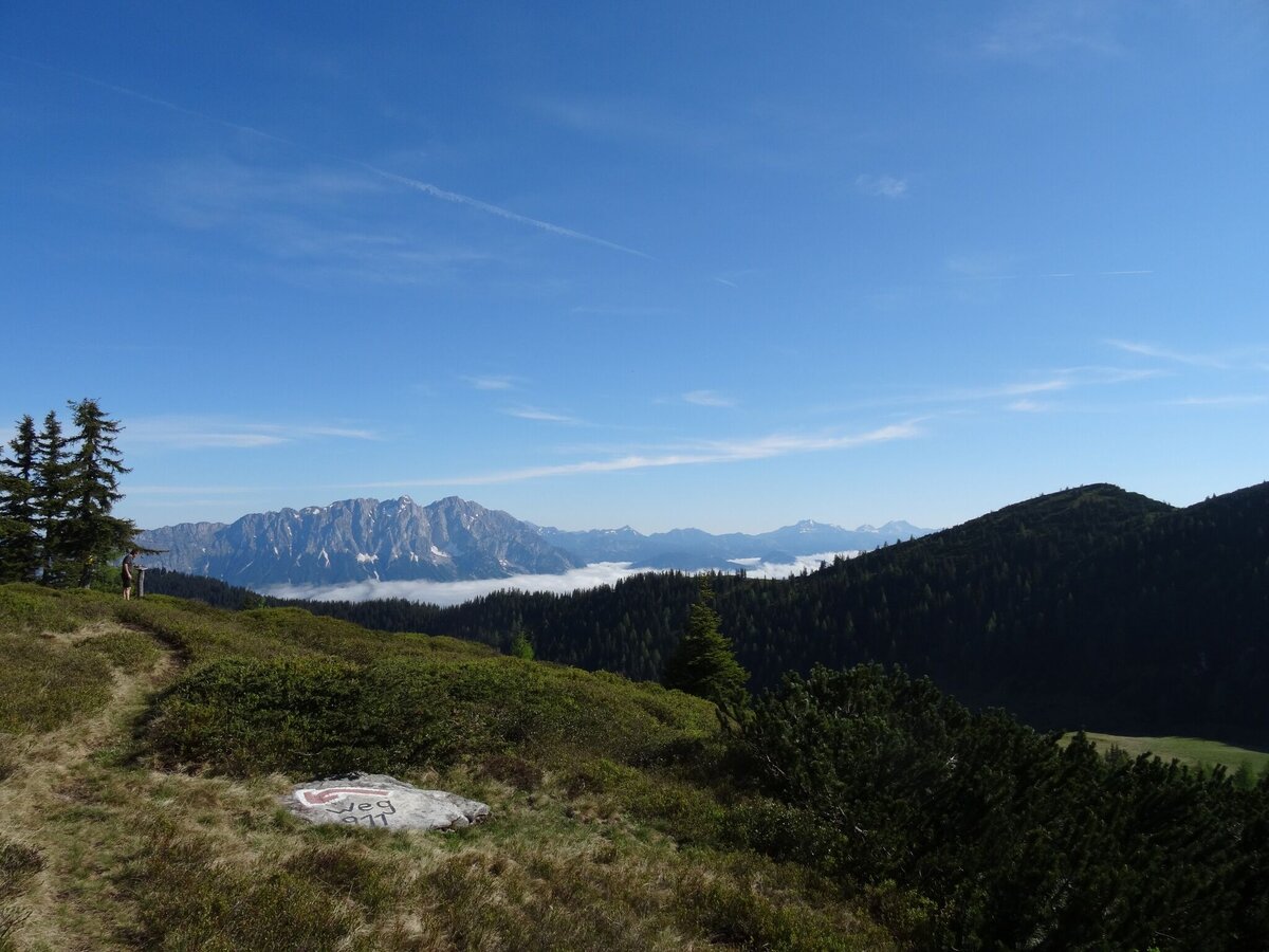


From the Gumpenalm, follow the hiking trail to the Gumpeneck as far as station 14, then turn left towards Gumpenkar and hike back towards the Gumpenalm.
From the A9: turn off at Selzthal (exit 69) towards Liezen/Radstadt. From Liezen follow the B320 to Espang. There turn towards Niederöblarn/Naturpark Söltäler.
For the hike: In the center of Stein an der Enns turn towards St. Nikolai. After approx. 4.5 km, just before Großsölk, turn left to the Koller farmstead.
Arrival at Stein/Enns train station with ÖBB.
Cab Stefan Mayer: +43 676 54 09 858
Valley bus beginning of July to beginning of September - this makes crossings in the Sölktäler Nature Park possible. You can also travel comfortably by train and the valley bus will take you to the starting point of your hike. Click here for the timetable.
Weather changes, rapid drop in temperature, thunderstorms, wind, fog and snow fields are objective dangers and require the right behavior on the way. Hut keepers are experienced mountain connoisseurs, they can give good tips on the weather and the course of the trail. Lack of equipment, overestimation of one's own abilities, carelessness, poor physical condition and a wrong assessment can lead to critical situations. During thunderstorms: avoid peaks, ridges and rope belays at all costs.
GPS data and orientation aids: Available GPS data - as well as hiking maps - are only an orientation aid, since they can never represent an exact image or the richness of detail of a path in reality. Especially in the case of danger spots, it must therefore always be decided in the end on the basis of the conditions on site whether and how the further course of the path looks like.
In case of emergency, please dial the following
emergency numbers:
No. 140 - for alpine emergencies - Austria-wide
No. 112 - Euro emergency call GSM emergency call service
Take rainproof and warm clothes and enough water, possibly also a snack, wear shoes with non-slip profile soles. A first aid kit should also be in your backpack.
SummitLynx-
Your digital summit and hut book - available worldwide and always with you!
The alpine huts on the Gumpenalm invite you to take a break in the summer months.
Mountain guides from the region: www.schladming-dachstein.at/mountainguides
For more information, please contact the Schladming Dachstein Tourist Office - Sölktäler Nature Park Information Center:
Phone: +43 3687 23310 501
mailto:info@schladming-dachstein.at
Stein an der Enns 107
8961 Sölk
The brochure “Schladming-Dachstein Hiking” is available in all information offices in the region.


