Panorama path Fleiß
snadné Family hikes · Naturpark Sölktäler
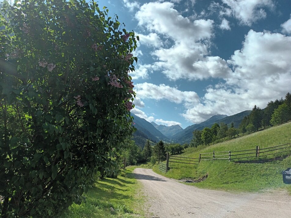
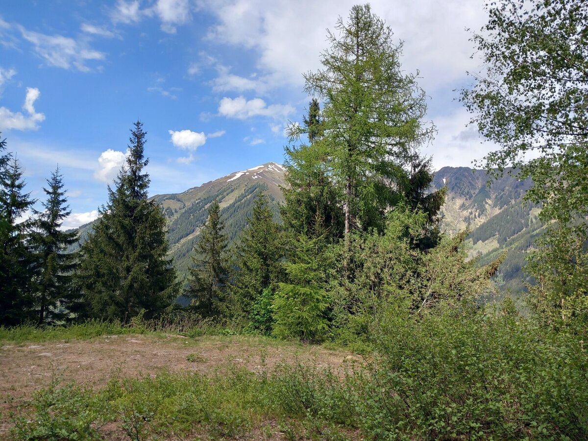
This hike leads us on the shady side of the valley through often light sections, which gives a view of the high trail on the opposite side. When it's really hot, the dense spruce forest along the hike is guaranteed to cool you down.
Fotogalerie


From the Almstüberl in Fleiß in the Great Sölktal, the hike begins in the direction of Stickeralm. Always follow the yellow hiking trail signs Panoramaweg Fleiß. At the 2nd bend, a section of the forest road leads to the forest road, follow this down the valley to the bend.
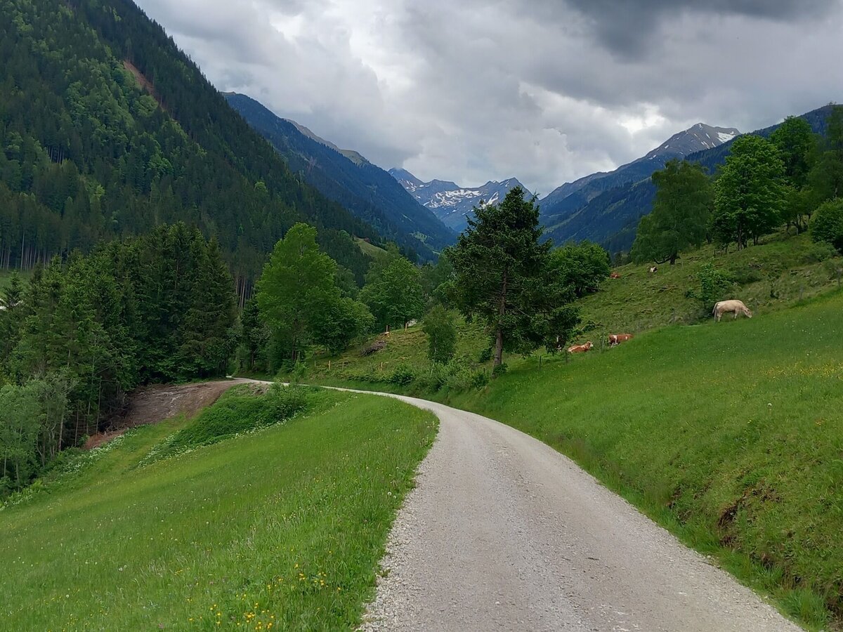
Here there is the possibility of a shortcut via the Eder farmstead to the Ödwirt inn. If you follow the meadow path straight on, you will reach the Schwarzlechner homestead. The path leads over the Schwarzlechner bridge to the main road, where you walk along the sidewalk back to the starting point.
From the Ennstalstraße B320 turn off at Pruggern (from the west) or Espang (from the east) in the direction of the Sölktäler Nature Park.
From Stein a.d. Enns turn into the Großsölktal in the direction of Sölkpass. From here about 10 km to the Almstüberl in Fleiß.
Arrival at Stein/Enns train station with ÖBB.
Cab Stefan Mayer: +43 676 54 09 858
Weather changes, rapid drop in temperature, thunderstorms, wind, fog and snow fields are objective dangers and require the right behavior on the way. Hut keepers are experienced mountain connoisseurs, they can give good tips on the weather and the course of the trail. Lack of equipment, overestimation of one's own abilities, carelessness, poor physical condition and a wrong assessment can lead to critical situations. During thunderstorms: avoid peaks, ridges and rope belays at all costs.
GPS data and orientation aids: Available GPS data - as well as hiking maps - are only an orientation aid, since they can never represent an exact image or the richness of detail of a path in reality. Especially in the case of danger spots, it must therefore always be decided in the end on the basis of the conditions on site whether and how the further course of the path looks like.
In case of emergency, please dial the following
emergency numbers:
No. 140 - for alpine emergencies - Austria-wide
No. 112 - Euro emergency call GSM emergency call service
Take rainproof and warm clothes and enough water, possibly also a snack, wear shoes with non-slip profile soles. A first aid kit should also be in your backpack.
SummitLynx- Your digital summit and hut book - available worldwide and always with you!
Refreshments are available at the Almstüberl and at Gasthof Ödwirt in Fleiß. Please follow the links to see the opening hours.
Mountain guides from the region: www.schladming-dachstein.at/mountainguides
For more information, please contact the Schladming Dachstein Tourist Office - Sölktäler Nature Park Information Center:
Phone: +43 3687 23310 501
mailto:info@schladming-dachstein.at
Stein an der Enns 107
8961 Sölk
The brochure
“Schladming-Dachstein Hiking” is available in all information offices in the
region.


