Höhenweg Fleiß
moderate Autumn hikes · Naturpark Sölktäler
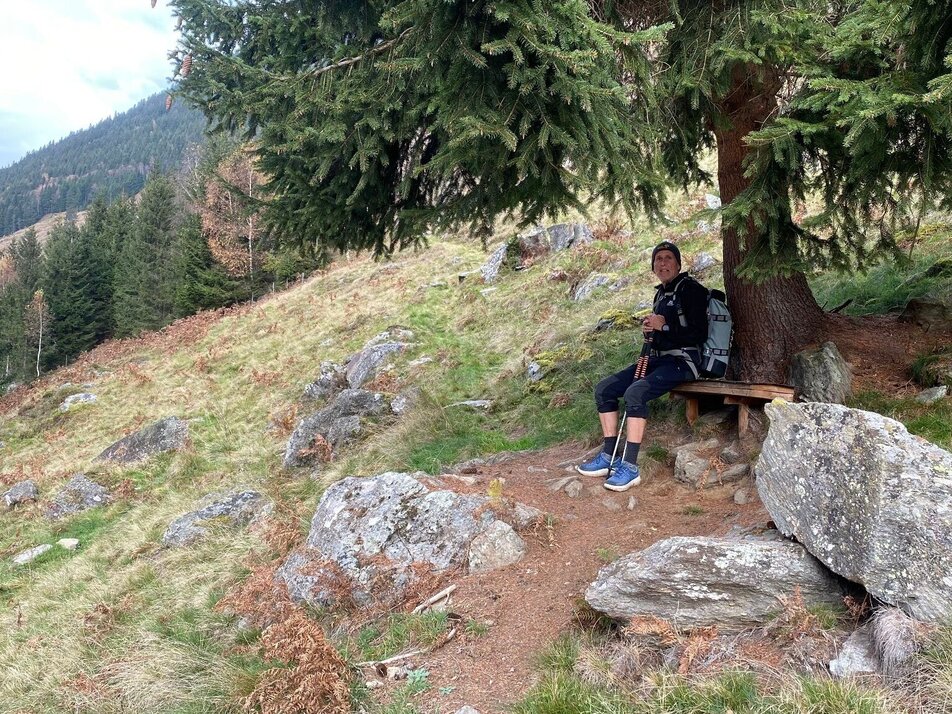
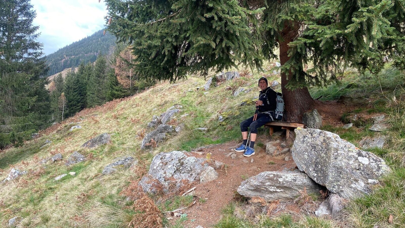
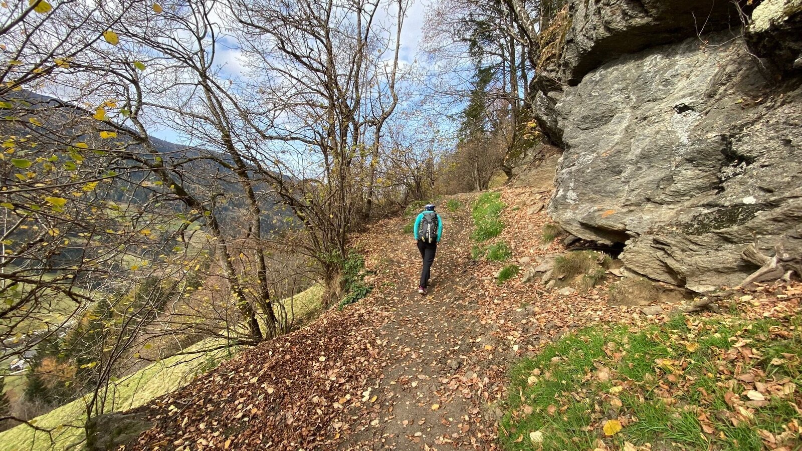
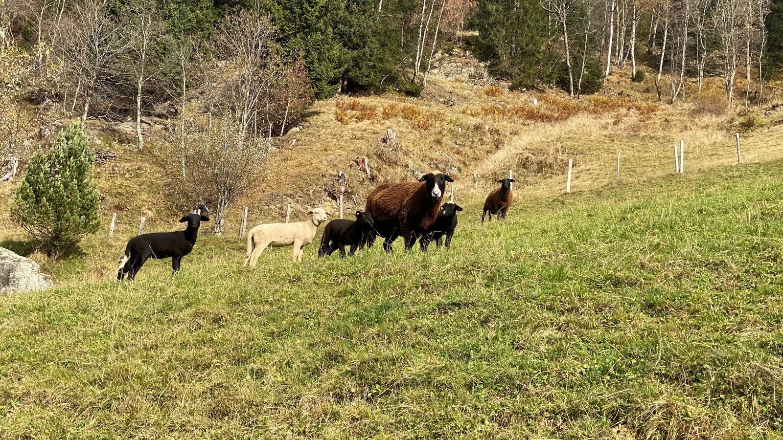
This hike leads us on the sunny side of the valley through often light sections, which provide a view of the Great Sölktal.
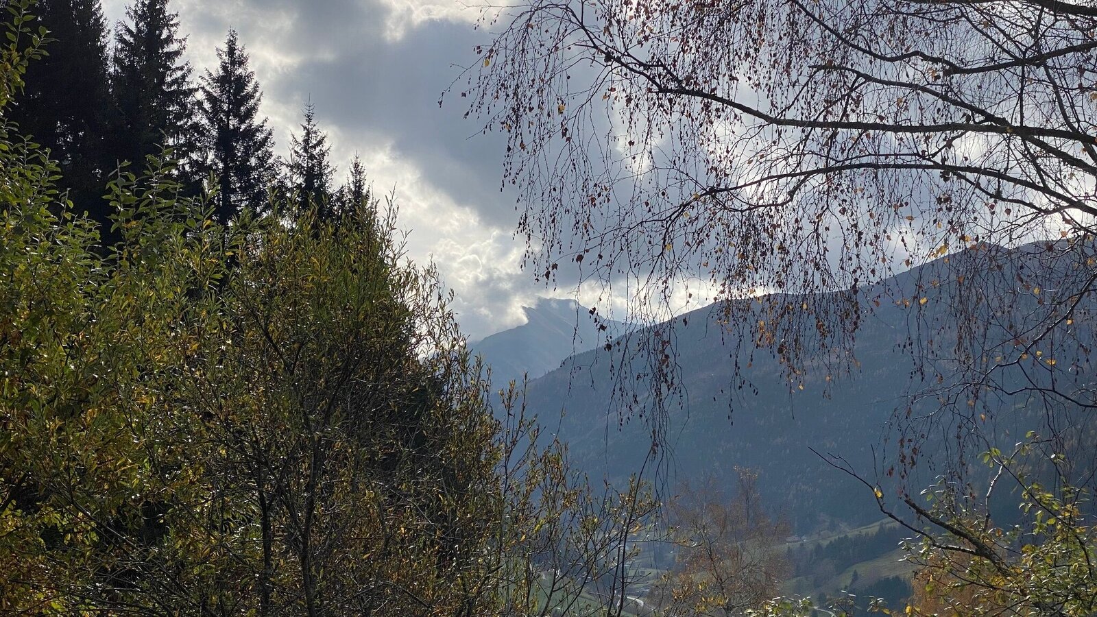
Gallery


Arrived at the inn "Ödwirt" you cross the main road and follow the directional arrows "Höhenweg Fleiß" to the farm Oberlanger - DT Adventure. Then you pass the farmsteads Rainer, Spießschweiger and finally Hanslebner before you arrive at the main road and walk along the sidewalk back to the starting point.
TIP: From the Rainer homestead the road leads directly into the valley and a shortcut of the hike is possible.
From the Ennstalstraße B320 turn off at Pruggern (from the west) or Espang (from the east) in the direction of the Sölktäler Nature Park.
From Stein a.d. Enns turn into the Großsölktal in the direction of Sölkpass. From here about 10 km to the inn "Ödwirt" or Almstüberl in Fleiß.
Cab Stefan Mayer: +43 676 54 09 858
Valley bus from July 5 to September 7, 2025 - this makes crossings in the Sölktäler Nature Park possible. You can also travel comfortably by train and the valley bus will take you to the starting point of your hike. Click here for the timetable.
Weather changes, rapid drop in temperature, thunderstorms, wind, fog and snow fields are objective dangers and require the right behavior on the way. Hut keepers are experienced mountain connoisseurs, they can give good tips on the weather and the course of the trail. Lack of equipment, overestimation of one's own abilities, carelessness, poor physical condition and a wrong assessment can lead to critical situations. During thunderstorms: avoid peaks, ridges and rope belays at all costs.
GPS data and orientation aids:
Available GPS data - as well as hiking maps - are only an orientation aid, since they can never represent an exact image or the richness of detail of a path in reality. Especially in the case of danger spots, it must therefore always be decided in the end on the basis of the conditions on site whether and how the further course of the path looks like.
In case of emergency, please dial the following emergency numbers:
No. 140 - for alpine emergencies - Austria-wide
No. 112 - Euro emergency call GSM emergency call service
Take rainproof and warm clothes and enough water, possibly also a snack, wear shoes with non-slip profile soles. A first aid kit should also be in your backpack.
Refreshments available at the Almstüberl and at the Gasthof Ödwirt in Fleiß.
For more information, please contact the Schladming Dachstein Tourist Office - Sölktäler Nature Park Information Center:
Phone: +43 3687 23310 501
mailto:info@schladming-dachstein.at
Stein an der Enns 107
8961 Sölk
The brochure “Schladming-Dachstein Hiking CENTER” is available in all information offices in the region.


