©
Christoph Lukas
Roundway Pötschner
eenvoudig Family hikes · Grimming-Donnersbachtal
Tourkenmerken
Conditie
Tourinformatie
Parcours: 2.07 km
Duur: 00:40 h
Beklimming: 56 m
Afdaling: 56 m
Beste jaargetijde
Januari
Februari
Maart
April
Mei
Juni
Juli
Augustus
September
Oktober
November
December
De tour
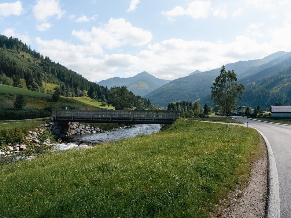
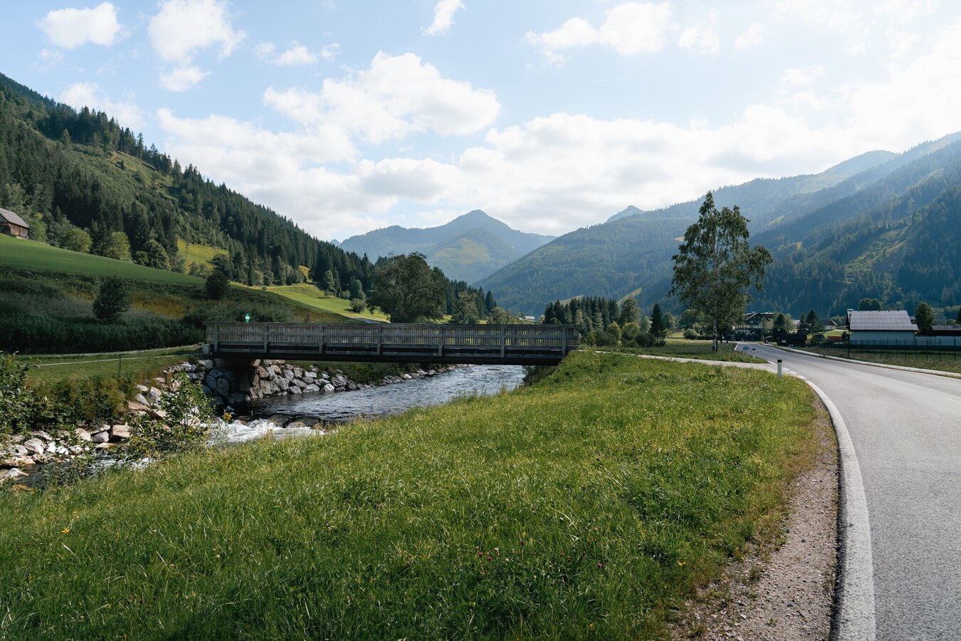
Behind the bus stop up to the settlement house. Through forest and meadow to the forest road and back to the village.
Fotogalerij

Nadere informatie
Routebeschrijving
From the parking lot you cross the street to the bus stop. Behind this bus stop, the path leads you up to the settlement house. Along the markings goes cross-country through forest and meadow, at the wooden door to the left, over to the forest road, where it goes down again and after the bridge back to the village.
Start
Coming from the B320, at the traffic circle Trautenfels in the direction of Irdning. Then direction Donnersbach, Donnersbachwald.
With the bus 941 to the busstop ,,Donnersbachwald Ort''. There is also the start point of the tour.
Between holidays gives no busconections.
The next trainstation is far away 22 kilometers.
Parkeren
Parking at the village center Donnersbachwald
Start
Parkplace village center
Bestemming
Parkplace village center
Equipment
Good shoes and clothes.
- Plan your trip in advance, taking into account walking time, distance, elevation gain, hazards, and weather reports.
- Let others know where you are going and when you want to be back.
- Turn back in good time if the weather deteriorates. If you are caught in a thunderstorm, stay away from free-standing trees and wait out the storm, crouching if possible.
- Stay on marked trails and remember to close pasture fences.
- If you are a dog owner: Clarify before the hike if you need to cross a pasture. Keep your dog on a leash and make sure it stays calm. If a cow attacks, let the dog off the leash immediately. Never pick him up to defend him.
Tip van de auteur
A nice shorttrip for a break.
Overige informatie en links
Tourism information: www.schladming-dachstein.at
Tourist Office Schladming-Dachstein
Ramsauerstrasse 756
8970 Schladming
T: +43 3687 23310
info@schladming-dachstein.at
- SCHLADMING-DACHSTEIN Hiking Map East. Available free of charge from tourist offices and accommodation providers.
- SCHLADMING-DACHSTEIN hiking map (1:50,000)
Weersvooruitzichten
Datum kiezen
Fair in the early morning, later variable with frequent showers.
Fair in the early morning, then scattered showers and finally widespread rain.
The rain will end in the early afternoon, and the skies will break up afterwards.


