Panorama Runde
moeilijk geopend Nordic Walking · Gröbminger Land
Tourkenmerken
Conditie
Tourinformatie
Parcours: 8.2 km
Duur: 01:00 h
Beklimming: 397 m
Afdaling: 402 m
Beste jaargetijde
Januari
Februari
Maart
April
Mei
Juni
Juli
Augustus
September
Oktober
November
December
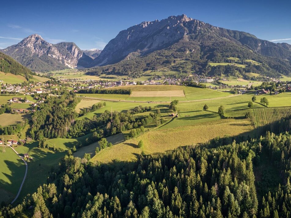
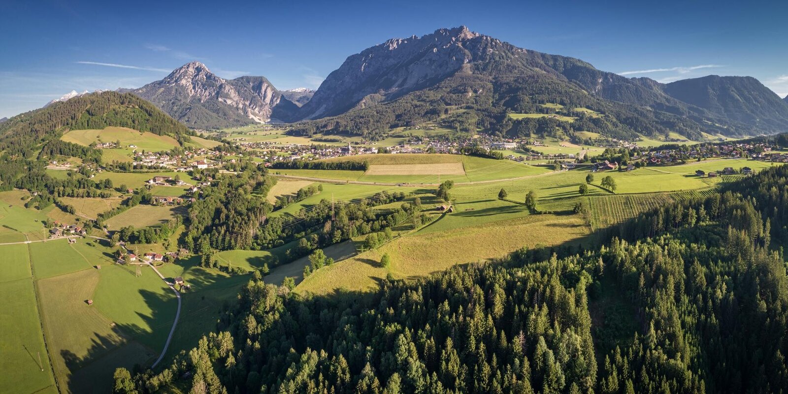
De tour
This circular hiking trail lives up to its name. Via the Stoderstraße and the picturesque Gröbminger Alm, the trail leads through a section of forest towards Freienstein. From the clearing along the Schneerosenhügel hill, a wonderful view of the Stoderzinken, Kammspitze and Grimming invites you to linger. The trail continues through a section of forest to Gröbming and along the Grömingerbach stream back to the starting point.
Translated with DeepL.com (free version)
Translated with DeepL.com (free version)
Fotogalerij

Nadere informatie
Start
From Salzburg: A 10 Tauernautobahn to Altenmarkt/Pongau junction - B 320 Ennstalbundesstraße - Gröbming
From Graz: A 9 Phyrn Motorway to St. Michael junction - Liezen B 320 to Gröbming
From Linz: A 9 Phyrnautobahn to Liezen (Bosrucktunnel MAUT!! or Phyrnpass) - B 320 to Gröbming
Parkeren
public parking places towards the police-station in Gröbming
Equipment
suitable footwear, weatherproof clothing
Weersvooruitzichten
Datum kiezen
Dry and sunny throughout the day with hardly any clouds.
Dry and sunny throughout the day with hardly any clouds.
Dry and bright with plenty of sunshine, clouds will be rare


