Eschachalm Loop
eenvoudig Hiking · Schladming
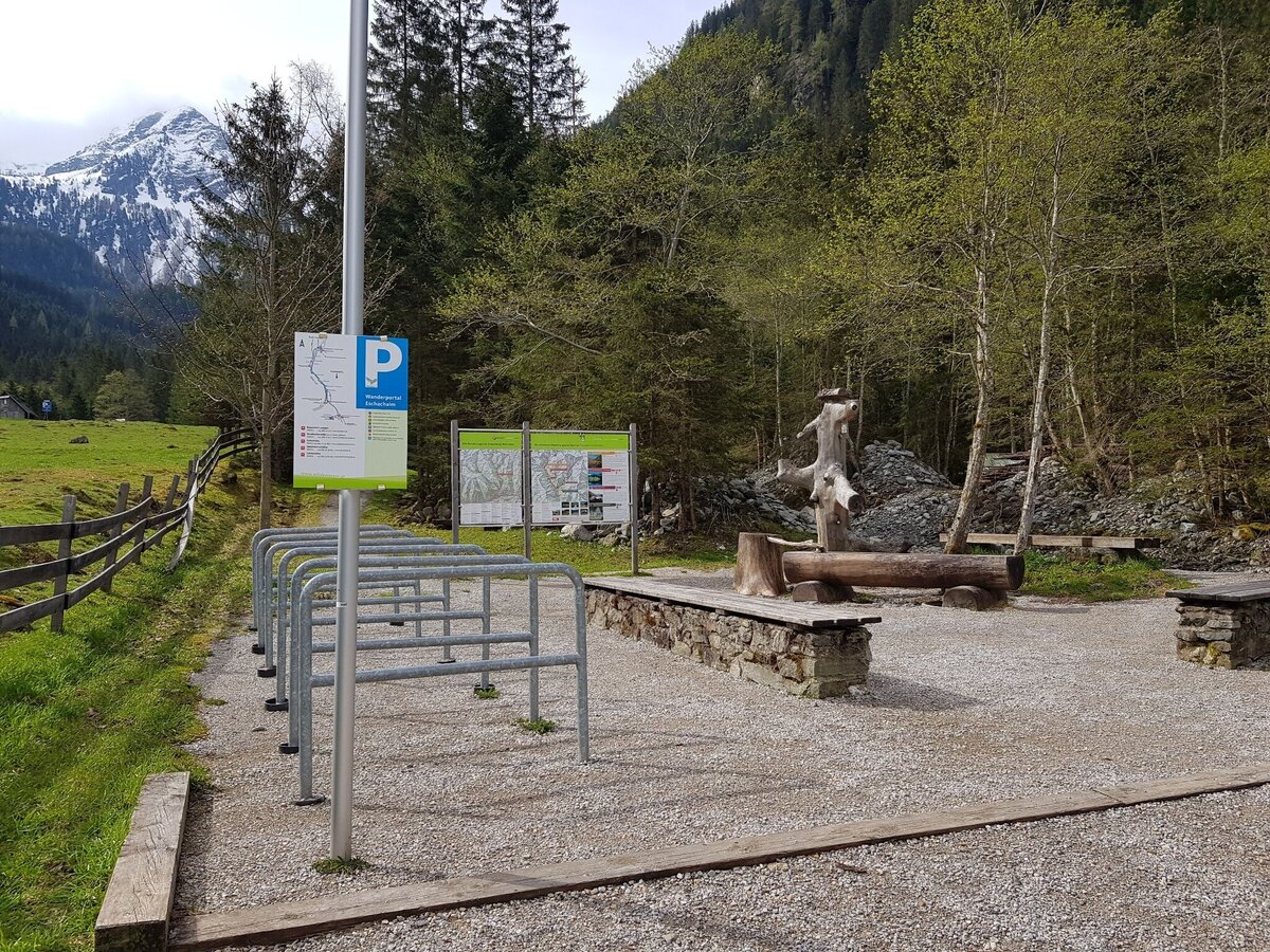
The Eschachalm trail is a short walk in the rear Obertal valley. You start at the Eschach hiking portal at the ‘Eschachboden’, walk along the Obertalbach stream and through a forest and then reach the Eschachalm where you can stop for a bite to eat.
Fotogalerij


From the the trail head you pass over the bridge of Obertalbach creek and make a left following the forest road towards Duisitzkarsee and Keinprechthütte. The road ascends slightly uphill and after a couple of minutes you reach the branch-off of this small loop tour.
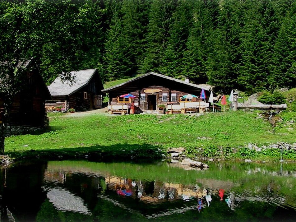
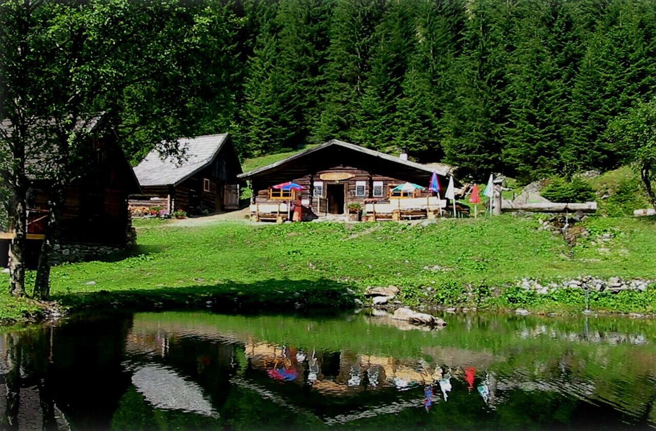
You walk down to the wooden bridge, cross over to the other shore and then continue on the trail leading you out of the valley on the other side. It is only a couple of minutes until you reach the Eschachalm chalet, where you have earned yourself a cake and a cup of coffee.
With the Planai buses from Schladming (Planet-Planai, Lendplatz) or Rohrmoos (Rohrmoos-Zentrum) to Obertal - bus stop Eschachalm.
- Buses of Planai-Hochwurzen-Bahnen: www.planaibus.at
Changes in weather patterns, quick falls in temperature, thunderstorms, wind, fog and snow are some of the dangers that can be encountered on a hiking tour. Hosts of alpine huts and mountain refuges have a lot of experience in the mountains and can give good advice about weather and the trails. Poor equipment, overestimation of one's own capabilities, carelessness, poor personal constitution and/or wrong judgement can lead to critical situations. In case of thunderstorms: avoid summits, ridges and steel ropes.
GPS data and orientation
Available GPS data - just like hiking maps - is only a guidance for orientation and can never depict a trail exactly with all its details. Especially at dangerous spots it is essential to judge on site how to proceed.
In an emergency please call:
- 140 - for Alpine emergencies (all over Austria)
- 112 - European GSM emergency number
Tourist information: www.schladming.com
Information about bus schedules: www.planaibus.at
- Hiking map ‘Hiking WEST’ available at the information offices in the region.
- Schladming hiking map, 1:25,000, available at the Schladming information office.
- Hiking map Schladming-Dachstein, 1:50,000, available at the information offices in the region.
- Hiking guide Schladming-Dachstein by Herbert Raffalt, available at the information offices in the region.


